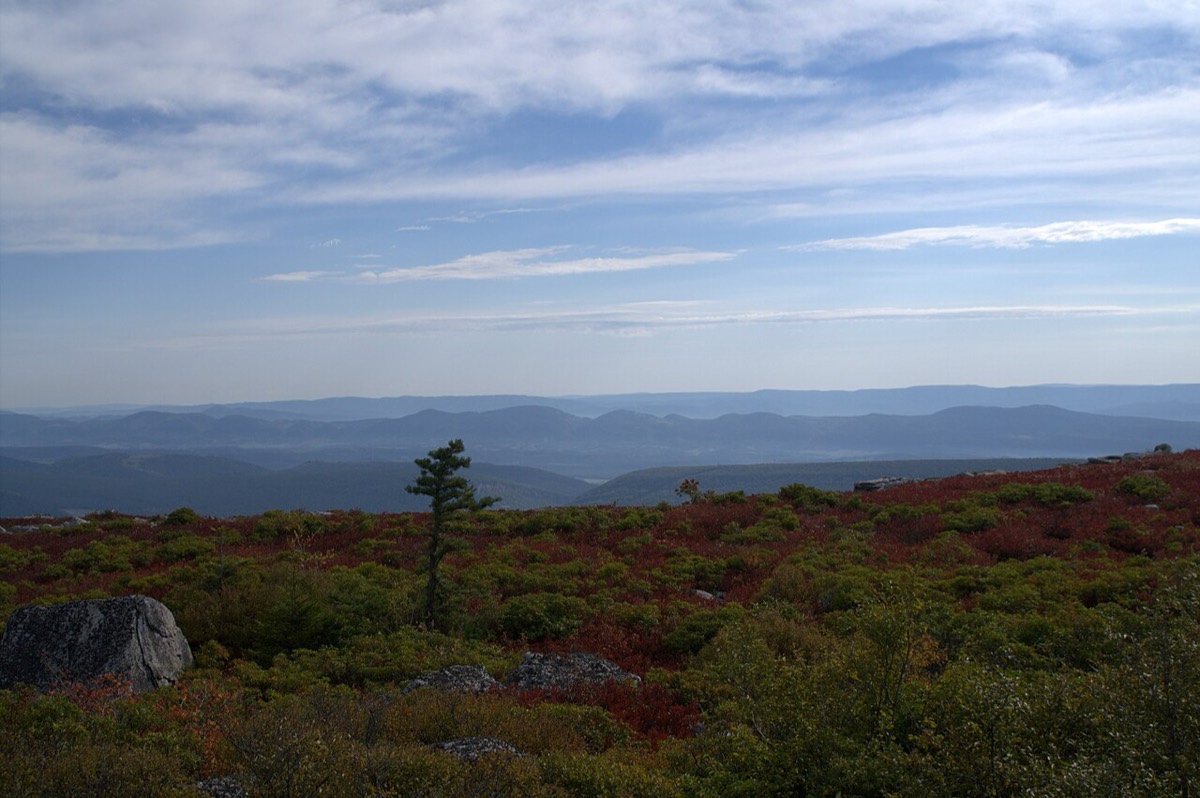
Dolly Sods Wilderness covers about 17,000 acres of the Monongahela National Forest, with roughly 47 miles of trails. The northern end, around Bear Rocks, is open and treeless, with sweeping views east over the ridges. Further south the trails drop into spruce forest and follow Red Creek and its tributaries. It's wild country: trails aren't blazed, signs are few, and the weather can change in minutes.
Where to start: Bear Rocks
For a first visit, start at Bear Rocks Preserve at the northern end of Forest Road 75. Bear Rocks is managed by The Nature Conservancy, right next to the wilderness, and you can walk a few minutes from the parking area to clusters of white sandstone boulders with long views. It's one of the best sunrise spots in the state.
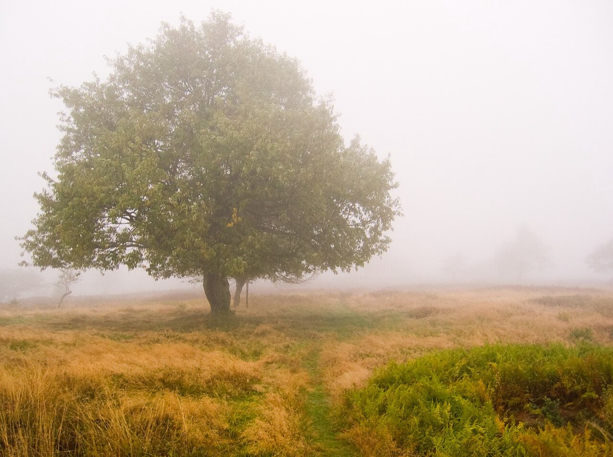
From there, the Bear Rocks Trail heads into the wilderness and links to Raven Ridge and Rocky Ridge, which make a popular loop through the open plains in the northern section. You get the dramatic scenery without hiking deep into the backcountry.
Other popular areas
- Red Creek: the heart of the wilderness, with forested trails, stream crossings and backcountry campsites. Crossings can be dangerous after heavy rain.
- Lion's Head: a rocky viewpoint popular with experienced hikers. Plan a full day and bring a good map.
- Red Creek Campground: a small, first-come campground on Forest Road 75, about 2.4 miles south of Bear Rocks, and the only car camping close by.
Getting there and road closures
Dolly Sods is about an hour's drive from Davis on mountain roads, and the last stretch is on gravel forest roads. Plan for that before you go:
- Forest Road 75, the road to Bear Rocks, usually closes to vehicles for winter, typically from January 1 to April 15.
- Forest Road 19 has a section closed to vehicles for repairs through mid-2027, according to the Forest Service. Foot traffic is still allowed, but you may need a different route in.
- Check the Monongahela National Forest's alerts page before every trip. Closures change, and cell service is spotty once you're on the plateau.
- Parking at Bear Rocks and the main trailheads fills up on fall weekends and holidays. Arrive early.
Weather and safety
Dolly Sods sits high and exposed, and it often feels more like northern Canada than West Virginia. Fog, wind, cold rain and summer thunderstorms can roll in fast, even on a sunny day.
- Navigation: trails aren't blazed and junctions are easy to miss in fog. Carry a paper map and compass or an offline map on your phone.
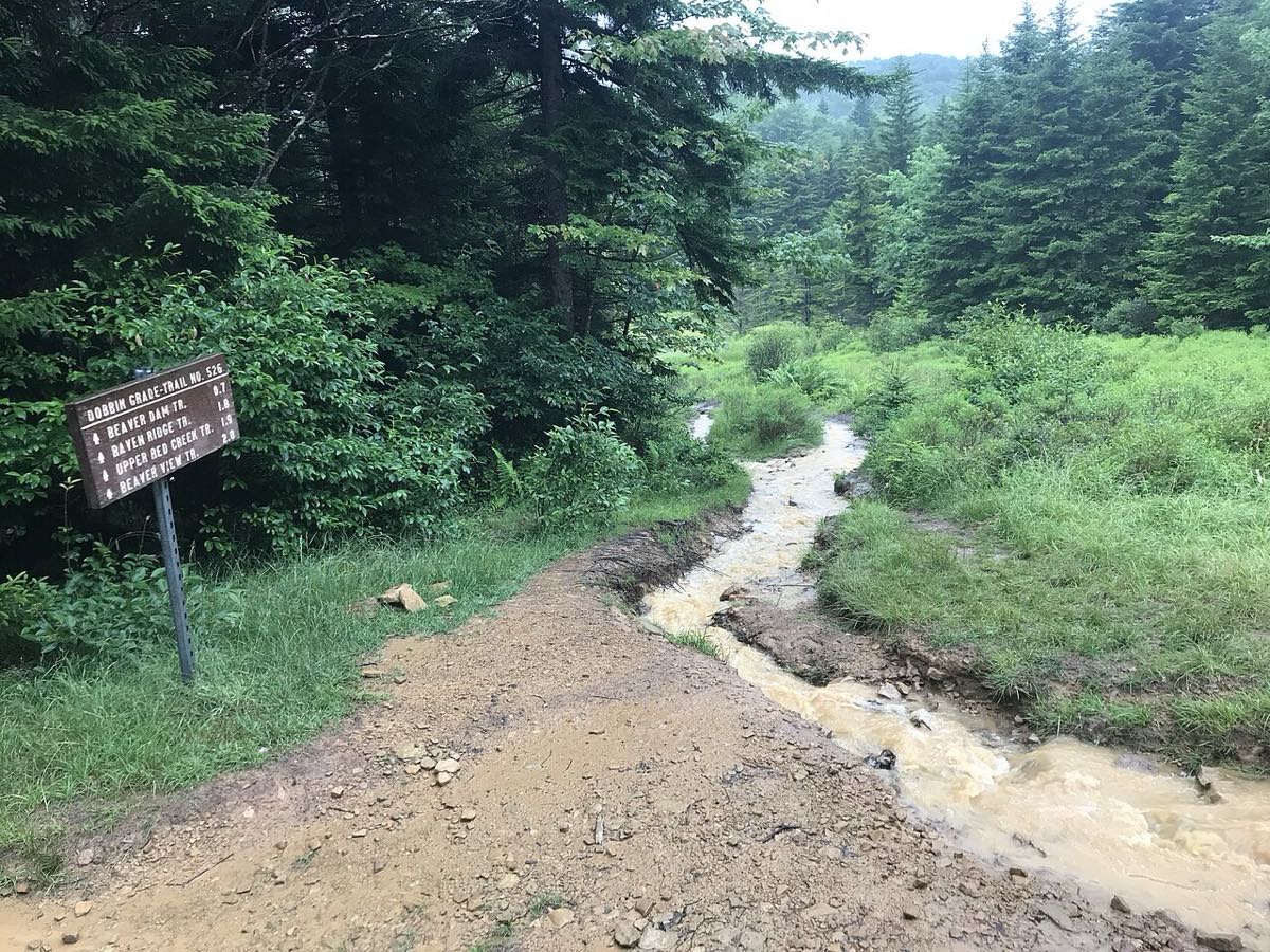
- Water: trails are often flooded or muddy, and stream crossings get dangerous after rain. Waterproof boots help.
- Layers: bring a warm layer and rain jacket in every season. It's often noticeably colder and windier than in Davis.
- Forecast: there's no working live cam at Dolly Sods (the old Forest Service camera stopped in 2021), so check the National Weather Service forecast for Bear Rocks, not the one for Davis. The Timberline summit cam near Davis gives a rough idea of fog and snow on the high ground.
- History: the area was used for military training during World War II, and unexploded artillery shells have occasionally been found. Stay on trails, and if you see anything suspicious, don't touch it. Note the location and report it to the Forest Service.
- Leave No Trace: pack out everything and camp only at established sites. The wilderness is fragile and heavily used.
Best times to visit
- Late summer: blueberries and huckleberries ripen across the plains, usually in August.
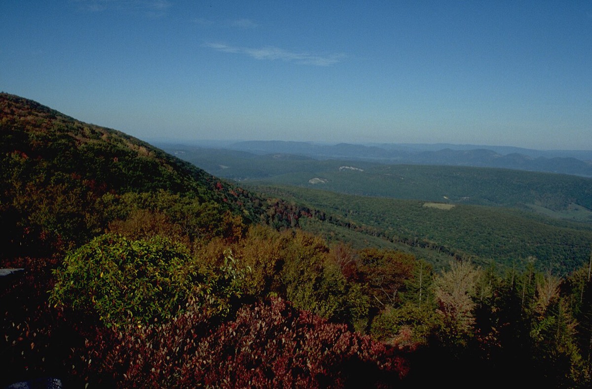
- Fall: the heath turns deep red, usually from late September into October. This is peak season, so go midweek if you can.
- Spring: wildflowers and fewer people, but trails are at their wettest and roads may still be closed early in the season.
- Winter: only for prepared snowshoers and skiers, starting from the closed road gates.
Where to stay
Most visitors base themselves in Davis or Canaan Valley and make Dolly Sods a day trip. These rentals are good fits:
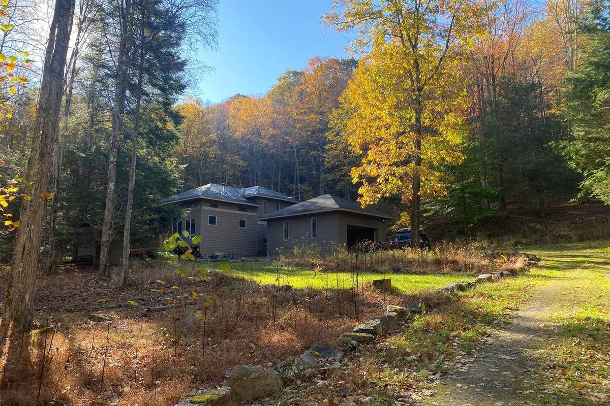 Modern Cabin Near Canaan Valley & Dolly Sods2BR cabin on the Dolly Sods side of the valley
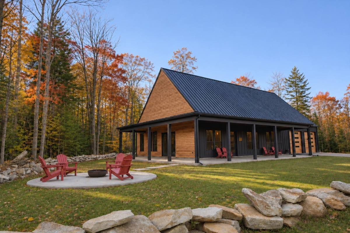 Lave: Luxury 4BR Retreat in DavisSleeps 12, great for hiking groups
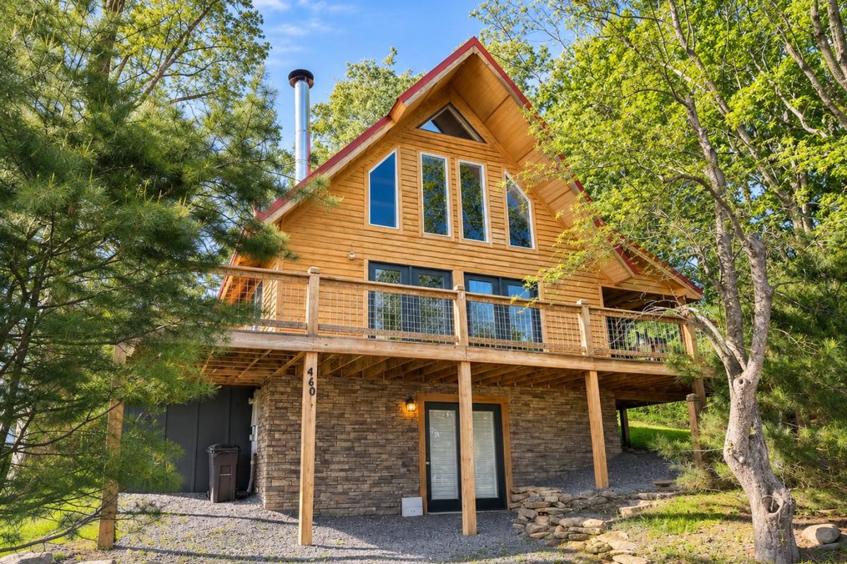 Townside Timber3BR timber home, walk to town after a long day on the trail
Map of the places in this guide
Tap a pin for details, directions and a link to that part of the guide.
Pin locations from OpenStreetMap. HelloHost rentals: see every stay.
List of every place on this map
Book direct and skip the platform fees
Our cabins and homes in Davis and Canaan Valley make an easy base for a day at Dolly Sods, with a hot shower waiting when you get back.
See available staysFrequently asked questions
How do you get to Bear Rocks in Dolly Sods?
Bear Rocks is at the northern end of Forest Road 75, a gravel forest road. The road usually closes to vehicles from January 1 to April 15, so check Monongahela National Forest alerts before you go.
Is Dolly Sods good for beginner hikers?
Yes, if you stay near Bear Rocks. The short walk to the rocks is easy, and the northern loops have big views without deep backcountry. Trails are unmarked and wet, so bring a map and waterproof boots.
When is the best time to visit Dolly Sods?
Late summer for blueberries and fall for the red heath, usually from late September into October. Fall weekends are busy, so arrive early or go midweek.
Can you camp at Dolly Sods?
Yes. Red Creek Campground on Forest Road 75 has a small number of first-come sites, and backcountry camping is allowed at established sites inside the wilderness.
Get new guides by email
Join our guest list for new local guides, ski and fall color updates, and first dibs on holiday weekends. A few emails a season, and you can unsubscribe any time.
Join the guest listLast updated November 17, 2026. Hours, trail conditions and road access change with the seasons, so check with each business, park or the Forest Service before you go.