Heading out? Check Conditions Today for live weather and snow cams, and This Weekend for live music and events.
Times are estimates from OpenStreetMap routing. Drive times don't include snow, parking or road closures.
Geocaching is a worldwide treasure hunt: people hide small containers, post the coordinates online, and everyone else uses a phone or GPS to find them, sign the log and hide them again. Around Davis and Thomas there are caches at overlooks, trailheads, old railroad grades and in town, so it's an easy way to explore with kids or turn a hike into a game.
How to use the map above: green pins open Geocaching.com's live map of every cache in that area, with its clues, photos and logs. Gold dots are survey benchmarks: click one for the official directions to find it.
Getting started
- Get the app: the free Geocaching app (or geocaching.com) shows caches near you. A free account is enough for most of them.
- Bring: a pen (logs are often tiny), a phone with offline maps (cell service is spotty in the mountains), water and a small trinket if you want to trade.
- Be sneaky: if other people are around, wait or come back, so the cache doesn't get found and taken by accident.
- Put it back exactly as you found it, and log your find in the app.
Where to look
- Blackwater Falls State Park: overlooks, trails and the canyon rim. A great first outing.
- Davis and Thomas: town caches you can walk to, plus the Blackwater Canyon Trail along the old railroad grade from Thomas.
- Canaan Mountain and the national forest: caches along the forest roads and trails, for a longer adventure.
- Canaan Valley: the state park and the area around White Grass.
- Fairfax Stone: a historic monument marking the source of the North Branch of the Potomac River and the corner of the old Fairfax land grant, just north of Thomas. It's also one of the benchmarks on our map.
- Dolly Sods: high, wild country. Find caches if you like, but see the rules below before hiding one.
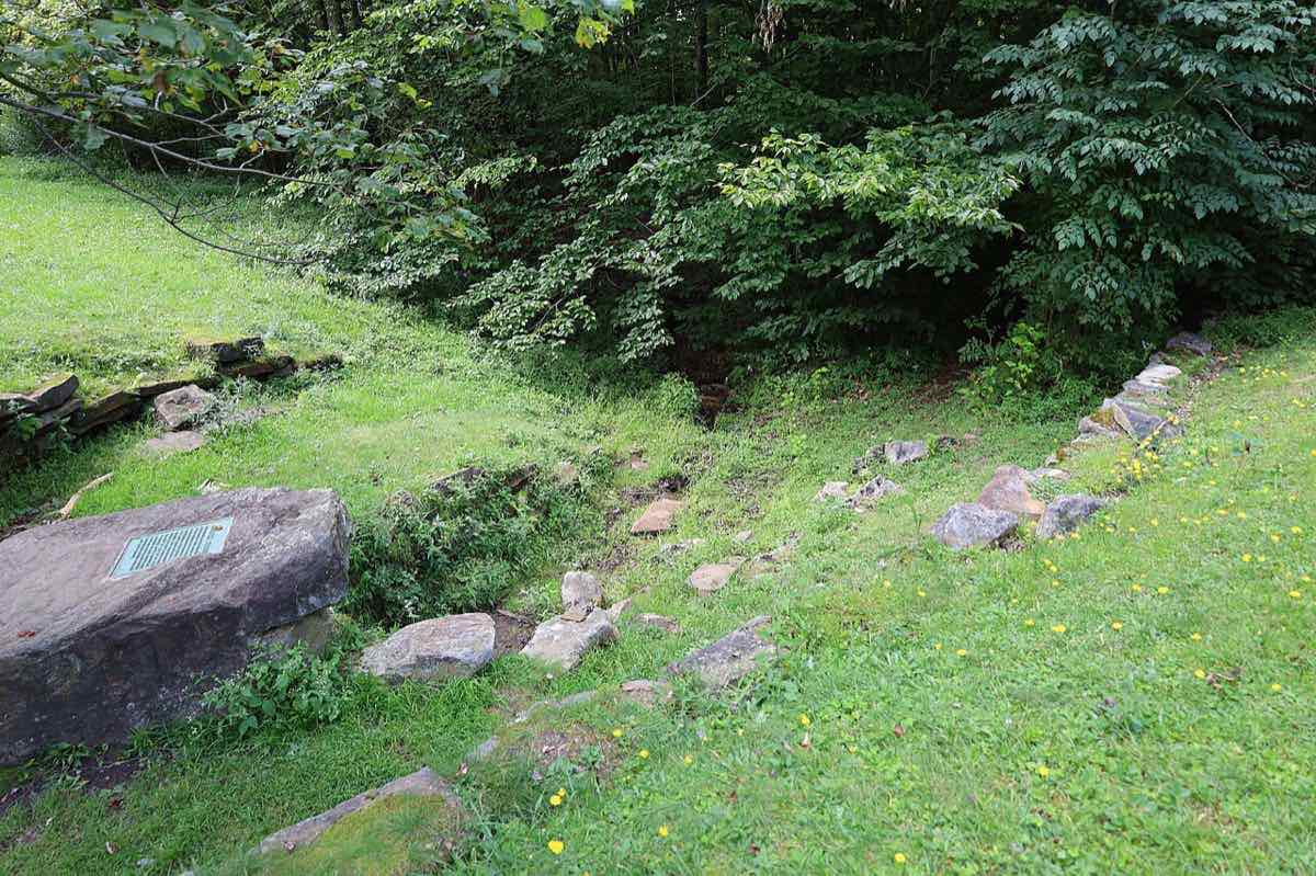
Benchmark hunting: geocaching's older cousin
Long before geocaching, government surveyors set brass disks and markers across the country to measure elevation and position. Around Davis there are more than 40, set in boulders, bridges, concrete posts and old fire tower sites, some dating to the 1930s. Each one has an official datasheet from NOAA's National Geodetic Survey with written directions from the nearest road or landmark.
- Pick one on the map: gold dots were found in good shape or have recent reports. Gray dots weren't found on the last search, which makes them a real challenge.
- Read the directions: they're written the old way, like "45 feet northeast of the centerline of a graveled road," so bring a tape measure or count your steps.
- Look, don't touch: benchmarks are federal survey property. Never dig them up, move or mark them.
- Report it: NOAA welcomes recovery reports with photos, which help surveyors and the next hunter.
The rules on public land
- Monongahela National Forest: geocaching is popular here. Don't hide caches in designated wilderness like Dolly Sods, where leaving personal property is not allowed.
- State parks: finding caches is fine. Before you hide one at Blackwater Falls or Canaan Valley, ask the park office.
- Canaan Valley National Wildlife Refuge: the U.S. Fish and Wildlife Service generally doesn't allow traditional (physical) caches on refuges. Stay on designated trails, and check with the refuge at 304-866-3858.
- Everywhere: stay on trails, don't dig or damage plants, and respect private land and hunting seasons (wear orange in the fall).
Where to stay
Davis and Thomas make an easy base, with caches and benchmarks a short drive or walk from your door.
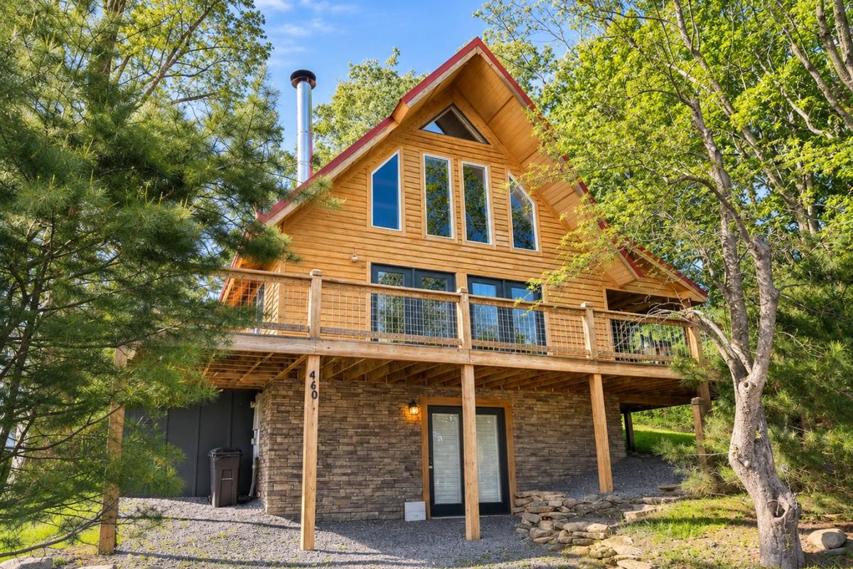 Townside Timber3BR timber home in Davis
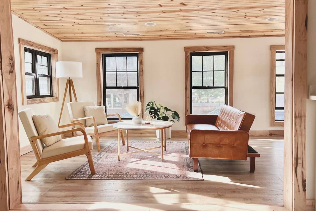 Uptown Davis 2BRWalk to town caches and the trails
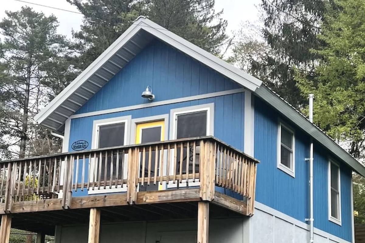 Mountain Koru Tiny House2BR tiny house in Thomas
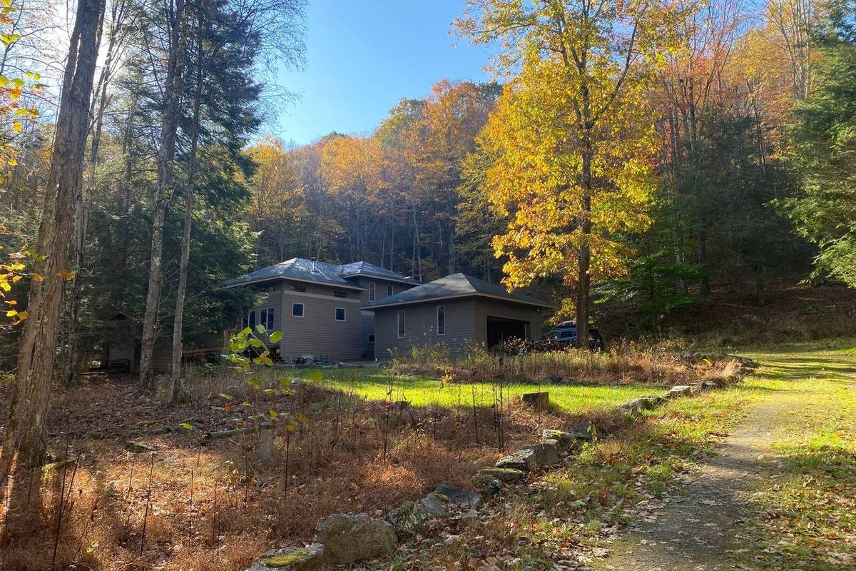 Modern Mountain CabinNear Canaan Valley and Dolly Sods
Book direct and skip the platform fees
Our cabins and homes in Davis and Thomas put you minutes from Blackwater Falls, the national forest and dozens of hidden caches.
See available staysFrequently asked questions
Are there geocaches near Davis, WV?
Yes. There are caches in and around Davis and Thomas, at Blackwater Falls State Park, in the national forest and in Canaan Valley. Use the green pins on our map to open Geocaching.com's live map of each area.
What is benchmark hunting?
Benchmark hunting is finding the brass survey markers the government set to measure elevation and position. NOAA publishes official directions to each one, and there are more than 40 within about 10 miles of Davis.
Can I hide a geocache in Dolly Sods?
No. Dolly Sods is designated wilderness, where leaving personal property isn't allowed. You can look for existing caches, but don't place new ones there.
Can I geocache at Canaan Valley National Wildlife Refuge?
The U.S. Fish and Wildlife Service generally doesn't allow physical caches on wildlife refuges. Call the refuge at 304-866-3858 before you go, and stay on designated trails.
Get new guides by email
Join our guest list for new local guides, ski and fall color updates, and first dibs on holiday weekends. A few emails a season, and you can unsubscribe any time.
Join the guest listLast updated November 18, 2026. Hours, trail conditions and road access change with the seasons, so check with each business, park or the Forest Service before you go.