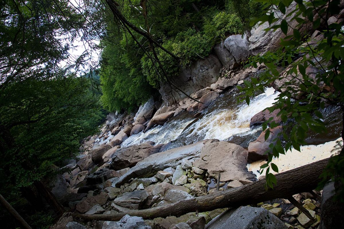
Heading out? Check Conditions Today for live weather and snow cams, and This Weekend for live music and events.
Davis sits at more than 3,000 feet, at the top of the Blackwater River's plunge into Blackwater Canyon. Within an easy drive you'll find guided rafting on the Cheat River, lazy summer floats near Parsons, quiet paddling through the wetlands of Canaan Valley, and steep creeks that draw expert kayakers from all over the country.
Check the water before you go. Our Conditions Today page shows live river levels from the U.S. Geological Survey for the Blackwater, Dry Fork, Cheat and more, updated about every 15 minutes, with whether each river is rising or falling.
When to go: spring is whitewater season
These rivers run on rain and snowmelt. The whitewater season usually runs from March into early June, when snowmelt and spring storms keep levels up. After that, most creeks drop too low to paddle until a big rain brings them back for a day or two.
Summer and early fall are float season instead: the Upper Cheat near Parsons and the Cheat Narrows usually have enough water for tubes, kayaks and easy guided trips.
Guided rafting on the Cheat River
The undammed Cheat River is where most visitors go rafting. Cheat River Outfitters in Albright, roughly an hour and a half north of Davis, runs two classic trips:
- Cheat Canyon: the outfitter calls it West Virginia's premier springtime Class V whitewater run. It's a full day through a remote canyon, with big rapids like High Falls and Coliseum, and it runs mainly in spring. American Whitewater rates the canyon Class III to IV+ at normal levels.
- Cheat Narrows: a half-day Class II to III trip, offered in spring and summer, with time for swimming and rock jumping. It's a good first rafting trip and works for families.
Book with Cheat River Outfitters
2764 N Preston Hwy, Albright · 304-329-2024
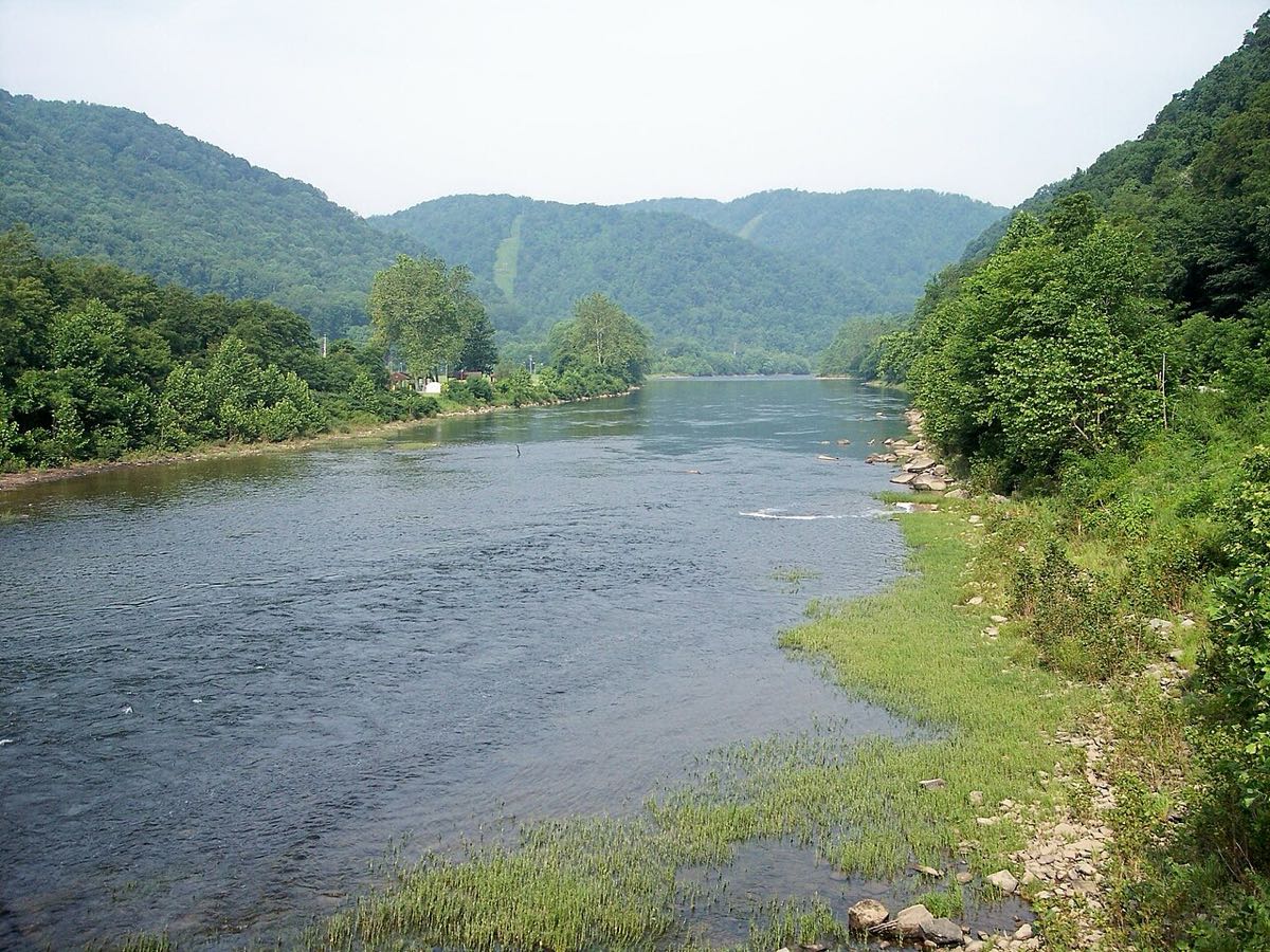

Easy floats, tubing and rentals near Parsons
For a mellow day on the water, Blackwater Outdoor Adventures in Parsons, about half an hour from Davis, rents kayaks, canoes, tubes and stand-up paddleboards on the Upper Cheat, and runs guided rafting trips and fishing trips too. Floats start upriver and end at their place, so there's no car shuttle to figure out. A popular stretch runs about eight miles from Holly Meadows, near Parsons, to St. George.
Rent a kayak or tube
60 Location Road, Parsons · 304-478-3775
If you have your own boat, the Black Fork from Hendricks to just below Parsons is a friendly Class II run, rated by American Whitewater.
Paddling the Blackwater through Canaan Valley
Above Davis, the Blackwater River winds slowly through the wetlands of the Canaan Valley National Wildlife Refuge. The refuge holds about 14 miles of the river, and it's a beautiful, quiet paddle for wildlife watching, with nothing like the canyon below.
- Easiest: launch at Laurel Landing, the refuge's accessible canoe and kayak launch at the end of Camp 70 Road, and paddle upstream on slow water at your own pace.
- Longest: from the Timberline Road launch down to Laurel Landing is about 13.8 miles, roughly nine hours. Expect rocks, beaver dams and the odd downed tree.
- Below the Camp 70 bridge: more current and rocks, with a Class III rapid called Triple Drop about a mile above the town dam. The 10-foot water supply dam near Davis must be carried around on the right.
- Water level: the refuge says that when the Blackwater gauge at Davis reads below 3.7 feet, plan to drag over shallow spots. The higher it reads, the faster the river moves.
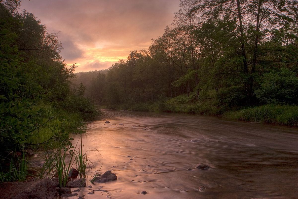

For experienced paddlers: the classic runs
The creeks around Davis are steep, rocky and often full of wood, and several are among the hardest regularly run whitewater in the East. These are for skilled kayakers paddling with people who know the lines. Difficulty ratings below are from American Whitewater, the best source for current beta, river levels and trip reports.
- Upper Blackwater (Class V): 2.5 miles from below Blackwater Falls to the North Fork, dropping about 240 feet per mile. It has a history of serious accidents. Access is through Blackwater Falls State Park, so follow the park's and American Whitewater's parking and access rules, and never run or put in at the falls.
- Lower Blackwater (Class III to IV+): 7.1 miles from the North Fork confluence to Hendricks. Paddlers often call around 400 to 650 cfs on the Davis gauge a great level, and above about 700 cfs it becomes a Class V run.
- North Fork of the Blackwater (Class V+): from Route 219 to its confluence with the Blackwater.
- Dry Fork (Class II to III+): 13 miles from Jenningston to Hendricks, or a shorter run from Gladwin. Paddler reports put a good level at about 3.5 to 4.5 feet on the Hendricks gauge.
- Otter Creek (Class IV to V+): an 8.5-mile wilderness run on the upper creek, plus a shorter Class IV lower section to the Dry Fork. It has no gauge, so you'll need local knowledge.
- Red Creek: a Class V upper section above Laneville and a Class III+ lower section to the Dry Fork, below Dolly Sods.
- Big Sandy Creek (Class III to V, Preston County): home of 18-foot Wonder Falls on the lower run, which becomes dangerous at higher water.
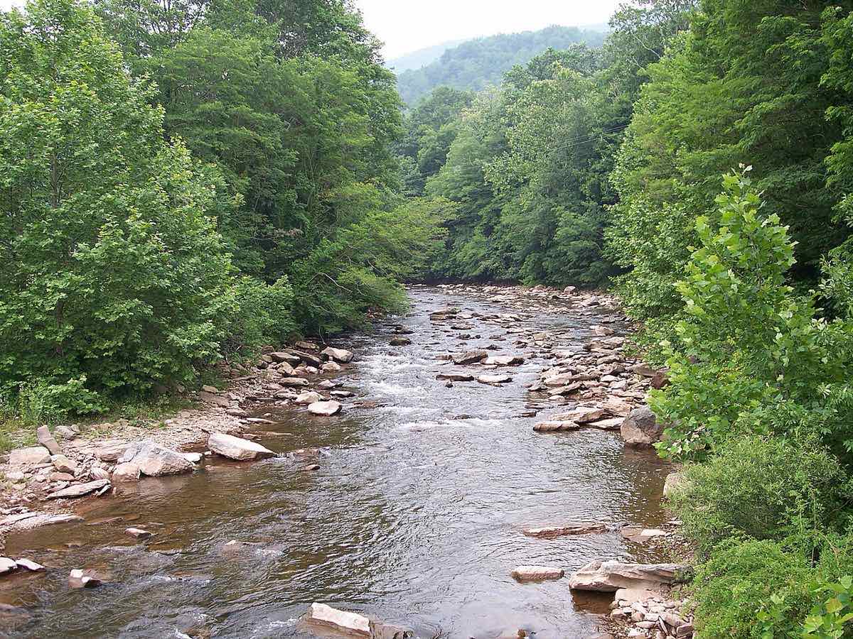

Reading the river levels
Gauges report either flow in cubic feet per second (cfs) or the river's height in feet, and paddlers use whichever their run has always been judged by. What matters most is the trend: a river that's rising after rain can go from too low to too high in a few hours here. Our Conditions Today page shows each gauge's latest reading and whether it's rising or falling. For runnable ranges and recent trip reports, check the run's page on American Whitewater.
Cheat Fest
The Cheat River Festival in Albright is the region's big paddling party, usually held the first weekend in May, with live music and a river race. It's the main fundraiser for Friends of the Cheat, a group that works to restore and protect the river. Check cheatfest.org for this year's dates.
Safety
- Cold water: spring snowmelt is dangerously cold. Wear a wetsuit or drysuit, not just a rain jacket.
- Wood and undercut rocks: storms bring down trees every year. Scout anything you can't see the bottom of.
- Fast-rising rivers: check the forecast and the gauge trend before you put on, and leave a trip plan with someone.
- New to whitewater? Go with a guide. The Cheat Narrows and the Upper Cheat floats are the right starting points, not the Blackwater.
Where to stay
Davis is the best base: minutes from the Blackwater, about half an hour from Hendricks and Parsons, and close to good food and a brewery after a cold day on the water.
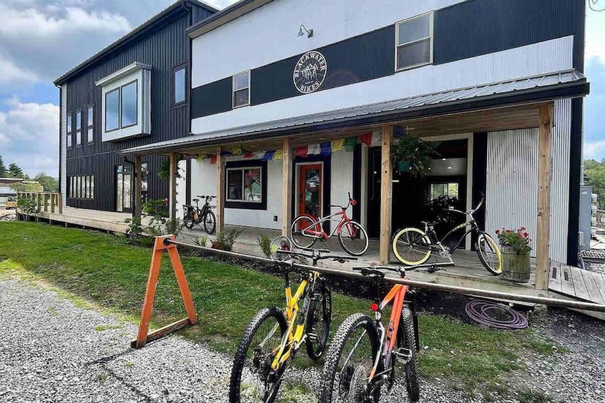 Blackwater Bed & Bikes 12BR in downtown Davis, patio and fire pit
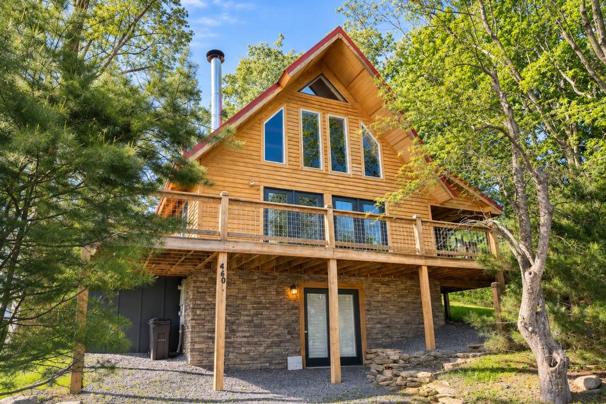 Townside Timber3BR timber home, room for a paddling crew
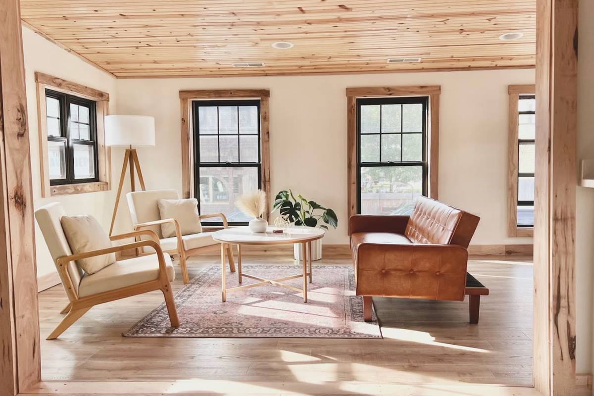 Uptown Davis 2BRWalk to William Avenue's food and drinks
Map of the places in this guide
Tap a pin for details, directions and a link to that part of the guide.
Pin locations from OpenStreetMap. HelloHost rentals: see every stay.
List of every place on this map
Book direct and skip the platform fees
Our Davis cabins, apartments and homes put you minutes from the Blackwater and about half an hour from the Dry Fork and the Cheat, with room to dry out gear at the end of the day.
See available staysFrequently asked questions
When is whitewater season near Davis, WV?
Mostly spring, from about March into early June, when snowmelt and rain keep the rivers up. In summer and early fall, most creeks are too low, but the Upper Cheat and the Cheat Narrows are usually good for floats, tubing and easy guided trips.
Can beginners go rafting near Davis and Thomas?
Yes. The Cheat Narrows is a half-day Class II to III guided trip that works for first-timers and families, and Blackwater Outdoor Adventures in Parsons rents kayaks, canoes and tubes for easy floats on the Upper Cheat.
Where can I check river levels for the Blackwater and the Cheat?
Our Conditions Today page (hellohostmgmt.com/conditions) shows live U.S. Geological Survey readings for the Blackwater at Davis, the Dry Fork at Hendricks, the Cheat near Parsons, at Rowlesburg and at Albright, and more, with whether each is rising or falling.
Can you kayak in Canaan Valley National Wildlife Refuge?
Yes. The refuge holds about 14 miles of the Blackwater River. Laurel Landing, at the end of Camp 70 Road, has an accessible canoe and kayak launch, and the water upstream from there is slow and easy.
Can you kayak the Blackwater River below Blackwater Falls?
Only if you're an expert. The Upper Blackwater below the falls is a Class V run that drops about 240 feet per mile and has had fatal accidents. Never run or put in at the falls, and follow Blackwater Falls State Park's access rules.
Get new guides by email
Join our guest list for new local guides, ski and fall color updates, and first dibs on holiday weekends. A few emails a season, and you can unsubscribe any time.
Join the guest listLast updated November 18, 2026. Hours, trail conditions and road access change with the seasons, so check with each business, park or the Forest Service before you go.